Environmental Consortium Conference Presentation
Where Animation and Citizen Science Collide
Ann LePore, Associate Professor Fine Art: 3D Design & Animation,
Fine Art, School of Contemporary Arts, Ramapo College of New Jersey
Presented at Environmental Consortium of Colleges and Universities, Vassar College
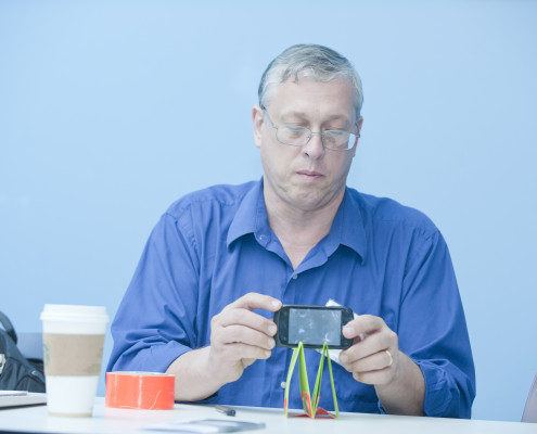
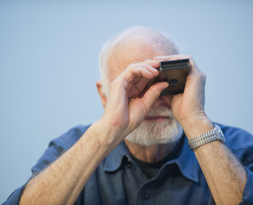
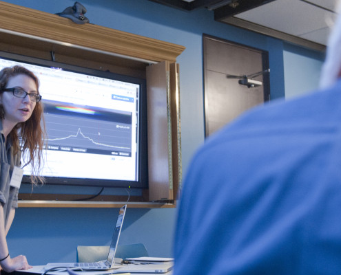
Mapping technology has recently been the focus of much critical attention as evidenced by numerous efforts to develop new ways of visualizing not only spaces, but complex sets of data. The focus of environmental data mapping can help participants to understand their immediate surroundings better, and the context of environmental issues is a relevant one that easily supports the visual display of both research and analysis. DIY spectrometers will be used to help create simple animations: charming evidence which engages participants and viewers. A longer version of this project is currently being used by students at Ramapo College of New Jersey to monitor water quality in a number of areas along the lower Hudson River Watershed.
Co-sponsored by
Pace Academy for Applied Environmental Studies/Dyson College Institute for Sustainability and the Environment
and Vassar College
I presented some experiments in data collection and visualization that I’ve been working on with my First year students as part of the Living and Learning Community at Ramapo College. It was wonderful to see old friends from the R/V Sea Wolf and meet new scholars interested in related fields.
The Environmental Consortium of Colleges & Universities was established in 2004 to advance our understanding of the cultural, social, political, economic and natural factors affecting the region. By promoting collaboration among its members, the Consortium works to provide ecosystem-based curricular and co-curricular programming aimed at improving the health of the regional ecosystem.


